
SMS — Strategic Map Scanning for residential housing
2016–2018 · Research at JAIA Architects · GIS and Python extraction, land data management
For a developer’s housing strategy we divided the city into a grid (A–J × 1–8) and filtered candidate sites plot by plot against set conditions. We wrote the extraction in GIS and Python, and gave each candidate a code and a single sheet — plot area, footprint, coverage and development potential. One of the sites on this list, after a feasibility review, became the Lancaster Gardens house. Which conditions went in decided which city came out.
Research by JAIA Architects. Client details and addresses removed.
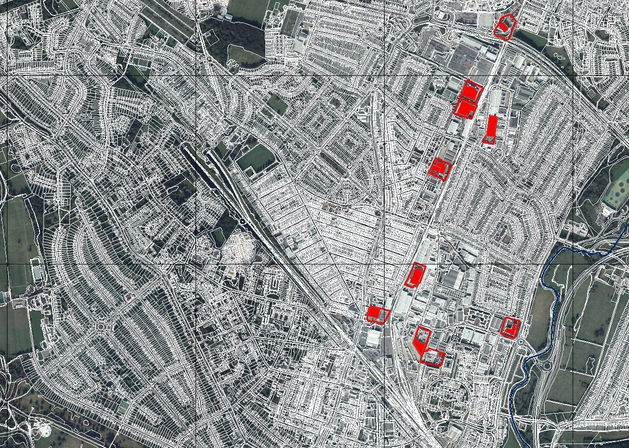
Candidate sites marked in red on the strategic map
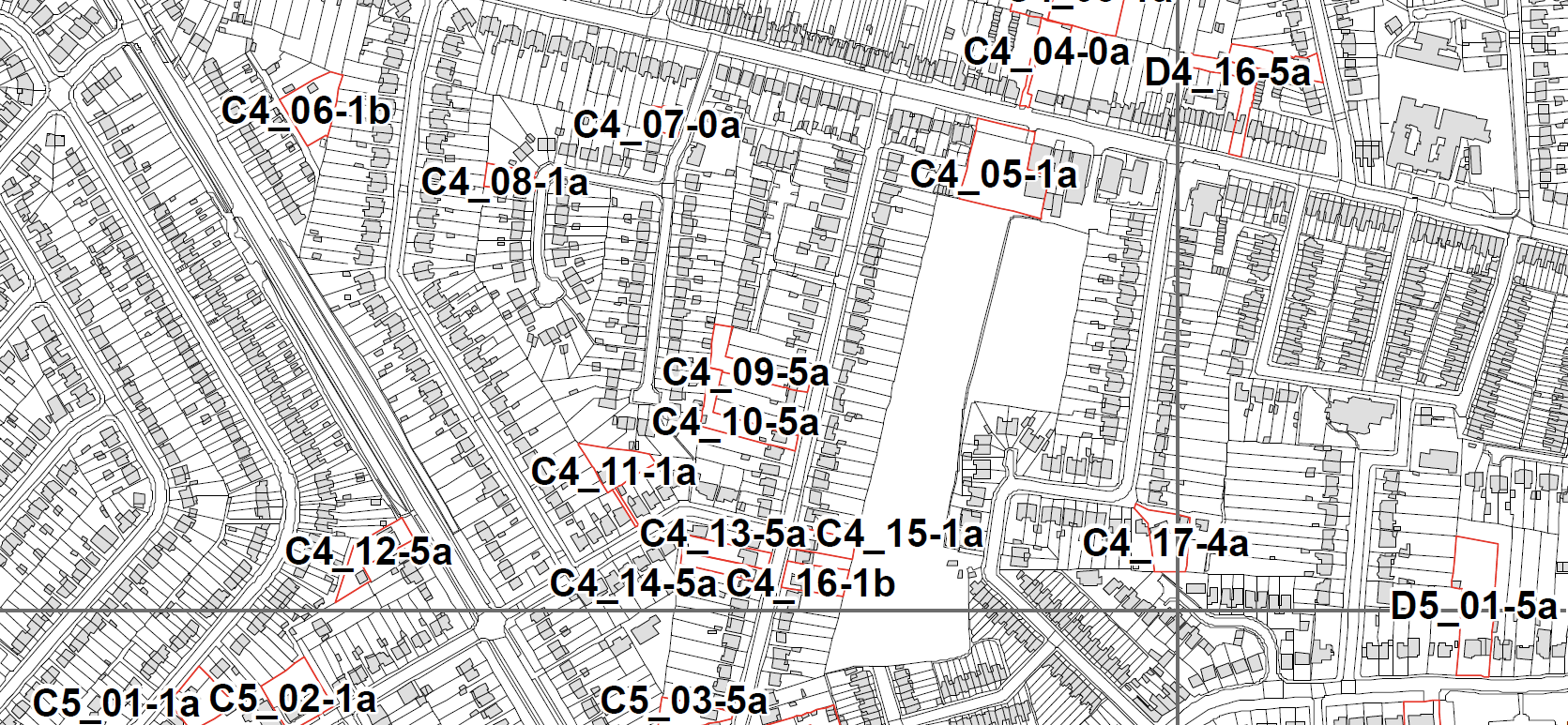
Site codes on the plot map
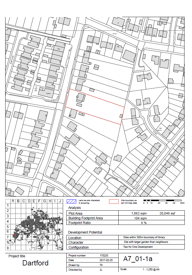
Site sheet A7_01-1a — plot area, footprint and development potential
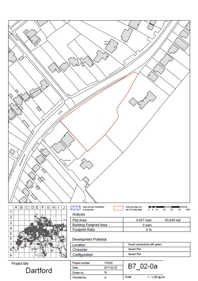
Site sheet B7_02-0a